

Examples and uses of GIS
IBM Big Data Hub
DECEMBER 18, 2023
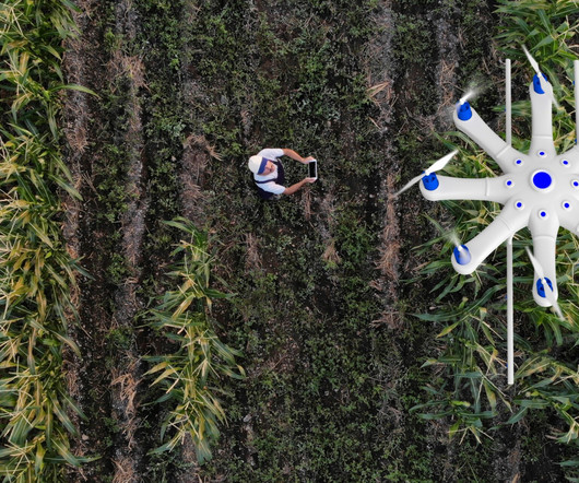
GIS perform spatial analysis of geospatial datasets—consisting of vector data (points, lines and polygons) and raster data (cells with spatial information)—to produce connected visualizations. The data from this soil and water analysis helps farmers improve yields while reducing costs and pollution runoff.


Let's personalize your content